par davey-boy
jeudi 25 septembre 2008
dimanche 21 septembre 2008
jeudi 11 septembre 2008
jeudi 28 août 2008
mardi 12 août 2008
mercredi 16 juillet 2008
De Sainte-mère-l'Eglise à Saint-sauveur-le-vicomte
Publié par
Unknown
à
14:00
0
commentaires
![]()
Libellés : Saint-sauveur-le-vicomte, Sainte-mère-l'Eglise, Transition
samedi 14 juin 2008
jeudi 12 juin 2008
mardi 10 juin 2008
Sainte Mère L'Eglise
par Syl2m
Son histoire a commencé bien avant "le jour le plus long", avec Guillaume de Sainte-Mère-Église, sacré évêque de Londres en 1199, les ravages des troupes anglaises au XIVe siècle,la peste, les guerres de religion, l'existence d'une importante communauté protestante au XVIIe, la révolution de 1789, les chouans avec l'exécution en 1796 de leur chef, le vicomte de Bricqueville, l'épopée napoléonienne, la vie municipale sous le Second Empire, etc...
Founded in the XIIth Century, the earliest records show its first name was "Sanctae Mariae Ecclesia" Latin for Church of the Holy Mother. The current French is ambiguous with the additional meaning, "Holy Mother Church." The town was a significant factor in the 100 Years War as well as the Wars of Religion.
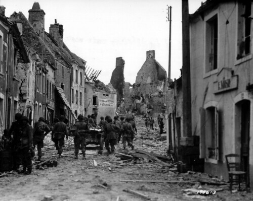
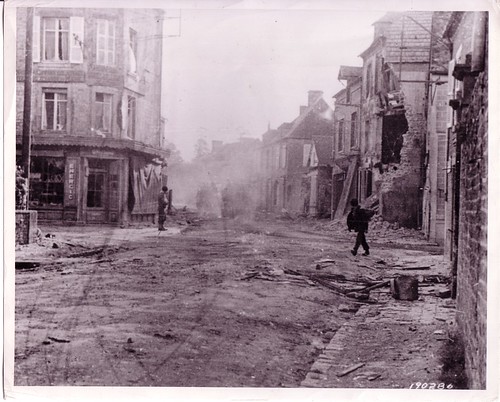
The town's main claim to fame is that it played a significant part in the World War II Normandy landings because this village stood right in the middle of route N13, which the Germans would have most likely used on any significant counterattack on the troops landing on Utah and Omaha Beaches. In the early morning of 6 June 1944 mixed units of the U.S. 82nd Airborne and U.S. 101st Airborne Divisions occupied the town in Operation Boston, giving it the claim to be one of the first towns liberated in the invasion.
The town's main claim to fame is that it played a significant part in the World War II Normandy landings because this village stood right in the middle of route N13, which the Germans would have most likely used on any significant counterattack on the troops landing on Utah and Omaha Beaches. In the early morning of 6 June 1944 mixed units of the U.S. 82nd Airborne and U.S. 101st Airborne Divisions occupied the town in Operation Boston, giving it the claim to be one of the first towns liberated in the invasion.
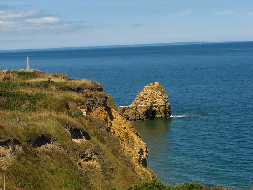
Pointe du Hoc - Sainte Mère l'Eglise
Publié par
Unknown
à
18:14
0
commentaires
![]()
Libellés : Pointe du Hoc, Sainte Mère l'Eglise, Transition
lundi 19 mai 2008
vendredi 9 mai 2008
lundi 5 mai 2008
vendredi 25 avril 2008
lundi 21 avril 2008
jeudi 17 avril 2008
samedi 12 avril 2008
dimanche 6 avril 2008
samedi 5 avril 2008
jeudi 3 avril 2008
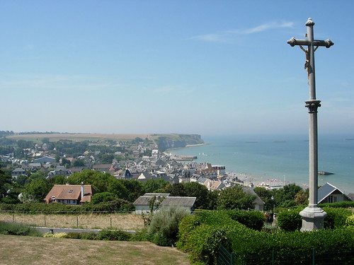
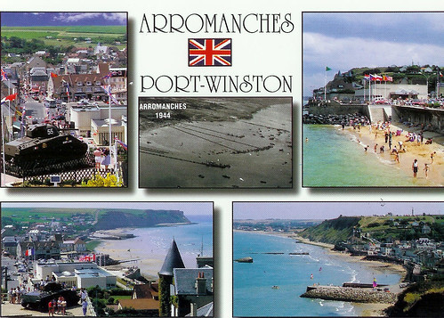
Arromanches
par bigskyred
Arromanches est célèbre comme lieu de bataille durant le débarquement, notamment pour le port artificiel qui y fut installé. Ce port permit de débarquer 9 000 tonnes de matériel par jour.
C'est sur une plage d'Arromanches que, lors du débarquement de Normandie, les Alliés établirent un port artificiel provisoire afin de permettre le débarquement de matériel lourd, sans attendre la conquête de ports en eaux profondes, tels que le Havre ou Cherbourg.
C'est sur une plage d'Arromanches que, lors du débarquement de Normandie, les Alliés établirent un port artificiel provisoire afin de permettre le débarquement de matériel lourd, sans attendre la conquête de ports en eaux profondes, tels que le Havre ou Cherbourg.
The town lies along the stretch of coastline designated as Gold Beach during the D-Day landings , one of the beaches used by British troops in the Allied invasion. Arromanches was selected as one of the sites for two Mulberry Harbours built on the Normandy coast, the other one built further West at Omaha Beach. Sections of the Mulberry Harbour at Arromanches still remain today with huge concrete blocks sitting on the sand, and more can be seen further out at sea.
Today Arromanches is mainly a tourist town. Situated in a good location for visiting all of the battle sites and War Cemeteries, there is also a museum at Arromanches with information about Operation Overlord and in particular, the Mulberry harbours.
Today Arromanches is mainly a tourist town. Situated in a good location for visiting all of the battle sites and War Cemeteries, there is also a museum at Arromanches with information about Operation Overlord and in particular, the Mulberry harbours.
lundi 31 mars 2008
samedi 29 mars 2008
samedi 22 mars 2008
vendredi 14 mars 2008
mardi 11 mars 2008
Ouistreham, Solitaire du Figaro 2007
par alex_pa
La Solitaire du Figaro est une course à la voile en solitaire créée en 1970 par Jean-Michel Barrault et organisée par le journal L'Aurore, puis à partir de 1985 par Le Figaro, principal sponsor.
dimanche 9 mars 2008
jeudi 6 mars 2008
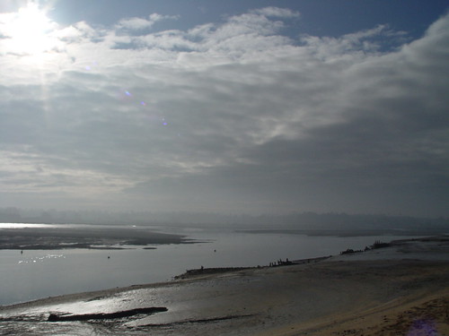
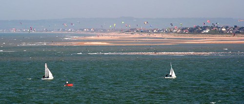
Beach east of Ouistreham, Normandy, France
par dorsetbays
A panoramic view of a beach east of Ouistreham on a glorious april saturday afternoon.
mardi 4 mars 2008
Ouistreham's lighthouse - Le phare de Ouistreham
par juli3n_ill
Ouistreham est une commune française, située dans le département du Calvados et la région Basse-Normandie.
Ses habitants sont appelés les Ouistrehamais. Napoléon a surnommé « Bédouins » les natifs de Ouistreham suite au vol des fusils de ses soldats. Les habitants de Ouistreham qui n'y sont pas nés sont appelés « Racachis ».
Ouistreham fait partie des plages du Débarquement, sous le nom de Sword Beach.
Ses habitants sont appelés les Ouistrehamais. Napoléon a surnommé « Bédouins » les natifs de Ouistreham suite au vol des fusils de ses soldats. Les habitants de Ouistreham qui n'y sont pas nés sont appelés « Racachis ».
Ouistreham fait partie des plages du Débarquement, sous le nom de Sword Beach.
The name Ouistreham derives from the Saxon Waster Ham, or "Westerhome" (in the sense of "western village"), and it has been a trading port since the Middle Ages. The harbour is now a part of "Port de Caen-Ouistreham". Ouistreham is pronounced West-er-ham.
Since the beginning of the 20th century, it is a bathing beach on the "Riva Bella".
On June 6, 1944, the only Free French forces involved in the D-Day landings (177 men of the Commando Kieffer) disembarked at Ouistreham (Sword Beach).
Since the beginning of the 20th century, it is a bathing beach on the "Riva Bella".
On June 6, 1944, the only Free French forces involved in the D-Day landings (177 men of the Commando Kieffer) disembarked at Ouistreham (Sword Beach).
vendredi 29 février 2008
dimanche 24 février 2008
samedi 23 février 2008
vendredi 22 février 2008
mardi 19 février 2008
samedi 16 février 2008
vendredi 15 février 2008
Cabourg à cheval
par karl_nemo1954
Cabourg est peut-être bien le paradis des chevaux...
Cabourg is perhaps a paradise for horses
jeudi 14 février 2008
lundi 11 février 2008
dimanche 10 février 2008
samedi 9 février 2008
vendredi 8 février 2008
jeudi 7 février 2008
dimanche 3 février 2008
samedi 2 février 2008
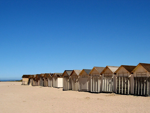
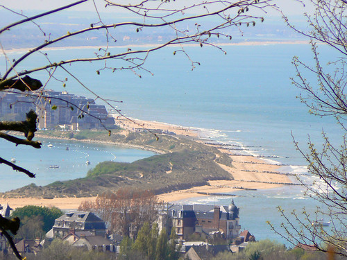
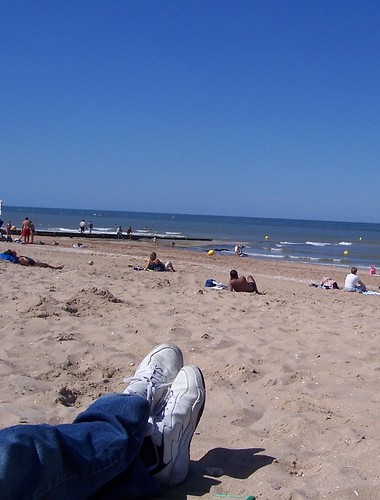
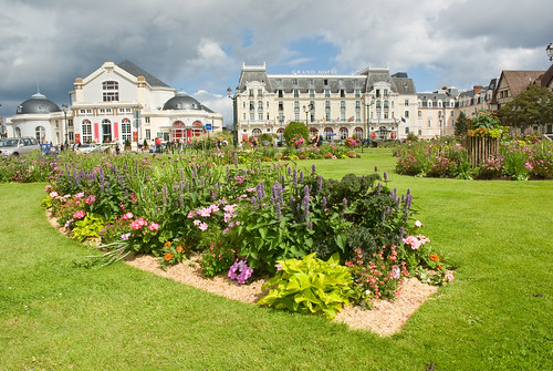
Plage de Cabourg
par arnauddieudonne
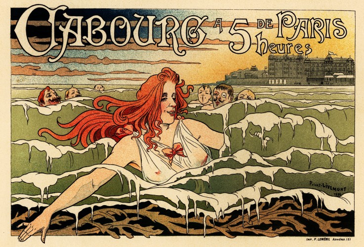
Cabourg est une commune française, située dans le département du Calvados et la région Basse-Normandie.
La commune est classée « quatre fleurs » au Concours des villes et villages fleuris.
Les habitants de Cabourg sont les Cabourgeais(es).
La commune est classée « quatre fleurs » au Concours des villes et villages fleuris.
Les habitants de Cabourg sont les Cabourgeais(es).
Cabourg is a commune of the Calvados département, in the Basse-Normandie région in France.
jeudi 31 janvier 2008
mercredi 30 janvier 2008
lundi 28 janvier 2008
jeudi 24 janvier 2008
Inscription à :
Commentaires (Atom)
